What to Expect When Driving from California to Ensenada
I’ve been living in Southern California for close to 10 years, and I had never been to Baja until last year. I’d always been curious about driving down into Tijuana and the coastal cities, as it was only a few hours away. However, I could never get anyone to go with me! It was too dangerous, they didn’t want to take their car into Mexico, it’s all trashy college bars, etc. Luckily, my parents were coming out for a visit and were up for the adventure. Here’s what I learned on our drive to and from Ensenada.
To learn more about what to do in and around Ensenada, check out my post here.
Crossing the border into Mexico
The folks had a rental car as they were driving around California a bit. We needed to get Mexican insurance for the vehicle, which you can purchase as an add-on for $35/day with their National car rental, but not from any location - you have to go to the airport location in San Diego. FYI, if you’re driving your own car, you can purchase insurance cheaper elsewhere - check out Baja Bound for competitive rates. So, after a side trip to purchase that, we were on our way. I had read a lot beforehand about having to get a Tourist Card as we crossed the border, as you were required to have one when driving through Baja. There was conflicting advice if you need it anywhere in Baja, or only if you’re driving to southern part of the peninsula, or staying longer than the 3 days that we were there. We fully planned on picking one up at Immigration when crossing the border just to be safe. However, our border crossing experience lasted about 2 minutes. We were routed through toll booth style lines. We were stopped while a machine scanned our license plate. And then we proceeded, waiting for another booth where they’d check our passports and sell us a tourist card… and that never appeared. We were routed onto a highway that traveled west out of Tijuana, and then we were off. So… Tourist Card never purchased. All I can say is technically you need one, but there was no signage about it, or easy way to get one, driving into Mexico, and it was never once asked about on our return. However, this trip was close to a year ago, and they may have tightened restrictions in that time.
Driving the Scenic Highway to Ensenada
From the border, you are routed onto a highway, and can either make your way into downtown Tijuana, or follow the signs to the Playas, Scenic Route, and Ensenada. The first few miles are fairly unattractive as you follow along the south side of the border to your right (along this section there is indeed a wall), and the edges of Tijuana to your left. Eventually you’ll keep following signs to “Ensenada Scenic Route” which will take you out along the coast, and then to a toll road. There’s three toll stops on the 60 mile route to Ensenada, totaling 107 pesos or a little under $6 (they accept either pesos or US dollars).
The view at the seaside restaurants
Any stories of cops pulling people over for bribes are either rumors or about 20 years old. It’s considered an incredibly safe road. It’s well maintained, it has rest stops, and gives you beautiful views over the ocean. Next to it runs the older ‘free road’ that winds its way through all of the seaside towns on the way south. We hopped off the highway to the free road at one point to find lunch at the decent but somewhat overpriced beachside Hotel La Fonda. Going again, I’d bring a list with me of some of the higher-rated restaurants along that stretch - we’re in prime fish and shrimp tacos land, and it’s worth it to make the most of it!!
It’s also worth it to make a rest stop at km marker 84. This fascinating site contains several eye-catching buildings on the side of a cliff overlooking the bay. The shops that used to be in the buildings have moved out, so it has a bit of a ghost town feel. There are basic toilets that you can use for the cost of a few pesos. There’s also snack and candy vendors in the parking lot. The big draw is the view - the dramatic overlook on the Pacific Ocean.

This is an actual rest stop overlooking the ocean
Arriving into Ensenada
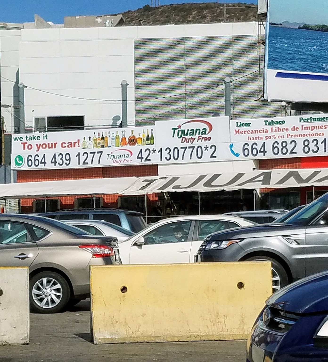
Once you clear the third toll, the highway turns into more of a local road, and you’ll soon run into city traffic. We were staying on the south side of town, so it was another hour or so of winding through the city and back south to the house we had rented along the beach at Punta Banda. Ensenada itself I found to be a fairly unattractive town. It’s a port city, so you’ll have to make your way past a lot of shipping containers and industrial signs before getting into the city itself. The downtown harbor area plays host to cruise ships and so is teeming with souvenir stands and tacky overpriced restaurants, although there are a few standouts that can be found - check out Hussong’s Cantina for one of the oldest bars in Baja. The rest of the city is slightly dingy in the way that developing cities often are. If you’re staying, the areas north and south of the city will have more to offer to visitors.
To learn more about what to do in and around Ensenada, check out my post here.

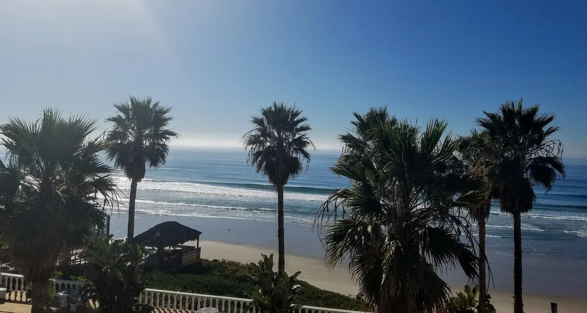
Sunset views on the beach south of Ensenada
Driving Back to the United States
I had heard talk of wait times as long as 3 hours at various border crossings, especially at the holidays (when we were there) and so nervously checked this CBP site as we drove north. The site estimates wait times at the borders - sometimes it’s worth it to drive out of your way to the more inland Otay Mesa checkpoint when the wait is out of control at San Ysidro. It showed about 45 minutes for us, so we were going to risk it. All three of us have Global Entry, so we were able to use the Ready Lanes, which are faster than the regular crossing. The fastest are SENTRI lanes, which Global Entry can use if they’ve registered their car (FWIW, our CBP agent said we probably could have used it even if we were using a rental car, ah well). If you don’t have Global Entry (and why don’t you??), check into getting a Fast Pass from a local restaurant or hotel, which will also allow you to reenter the US from a faster lane.
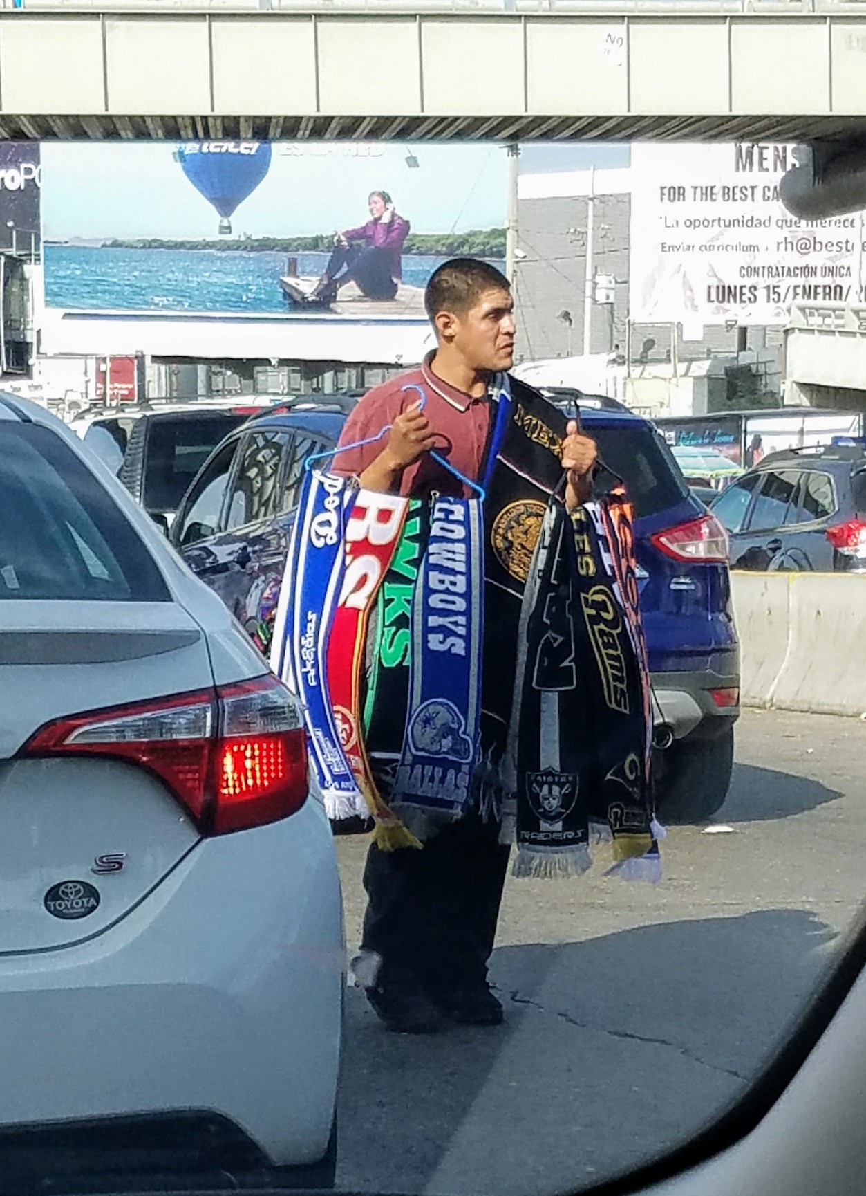
So, getting to the Ready Lanes, or any of the entry lanes, is not an easy task. This was the hardest part of the whole trip, and I cannot recommend enough following these directions from Baja Bound - I printed them out and had them handy (they have photo directions for all the various types of lanes). We got turned around once, but would have spent hours wandering Tijuana had I not had those directions. What I hadn’t anticipated is that there very little signage pointing you to the US border. There’s plenty on the highway, which you follow and will get you exiting into downtown Tijuana. From there, you’re on your own - Your best guess on the way to the correct entrance. Even Google maps did not help. So definitely print out directions in advance. Several turns (and one accidental loop) later, we finally got ourselves to the Ready Lane. And then the slow crawl began. From that moment until we got to the border agent was a little under an hour’s wait. However - there is a lot to see while you’re waiting! Vendors sell souvenirs, churros, drinks, and more ( I saw someone selling large paintings). Enterprising folks who have businesses nearby offer up their toilets for $1 USD for passengers to hop out at. A liquor store has their phone number printed largely, and says they’ll run out any orders to your vehicle if you call them. So it was a very interesting hour.
Eventually we made it up, handed over our passports and Global Entry cards to the border agent, and all of 2 minutes later, were back in the US.